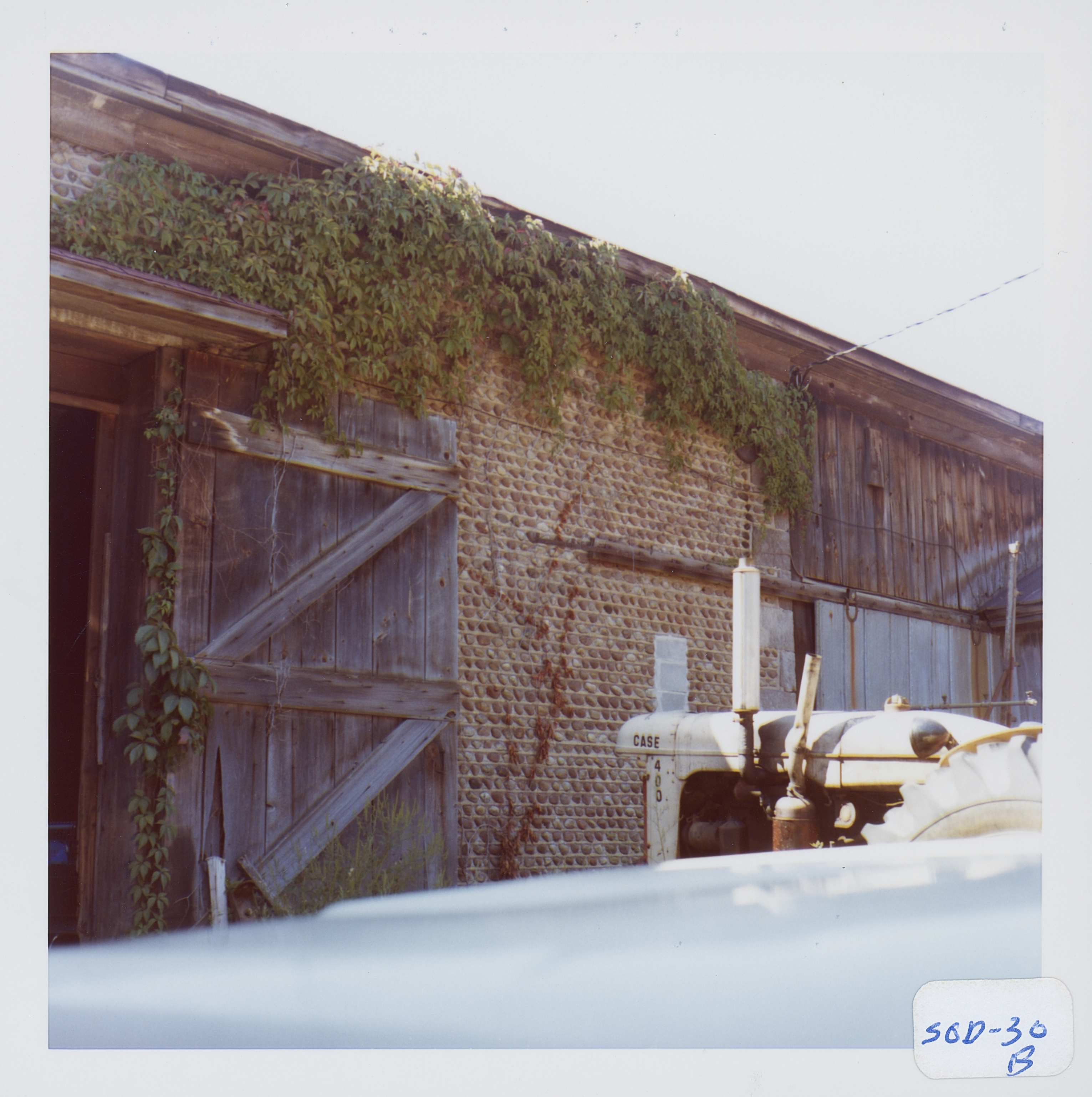
Building date: 1849
Original use: Barn
Corner structures:
Mortar application and content: Vertical heavy. Vertical pyramids
Types and uses of stones:
Types and choice of windows:
Structures with similar masonry details: Pal-9 Schlegel
Masons who worked on building:
Unique features:
Map views courtesy Google Maps. Address is Google Earth confirmed; 43°12'15.82"N 77°00'46.39"W. Current owner of record, Stevenson as of the 2019 Tax Roll.
Town of Sodus and Wayne County Maps. Note that the map location of Sod-30, 30a and 30b are all accessed from the number 30 red dot.
Wayne Historians Organization (WHO), Historic Sites Inventory Cobblestone house and 2 barns
 Sod_30b_1.jpg | 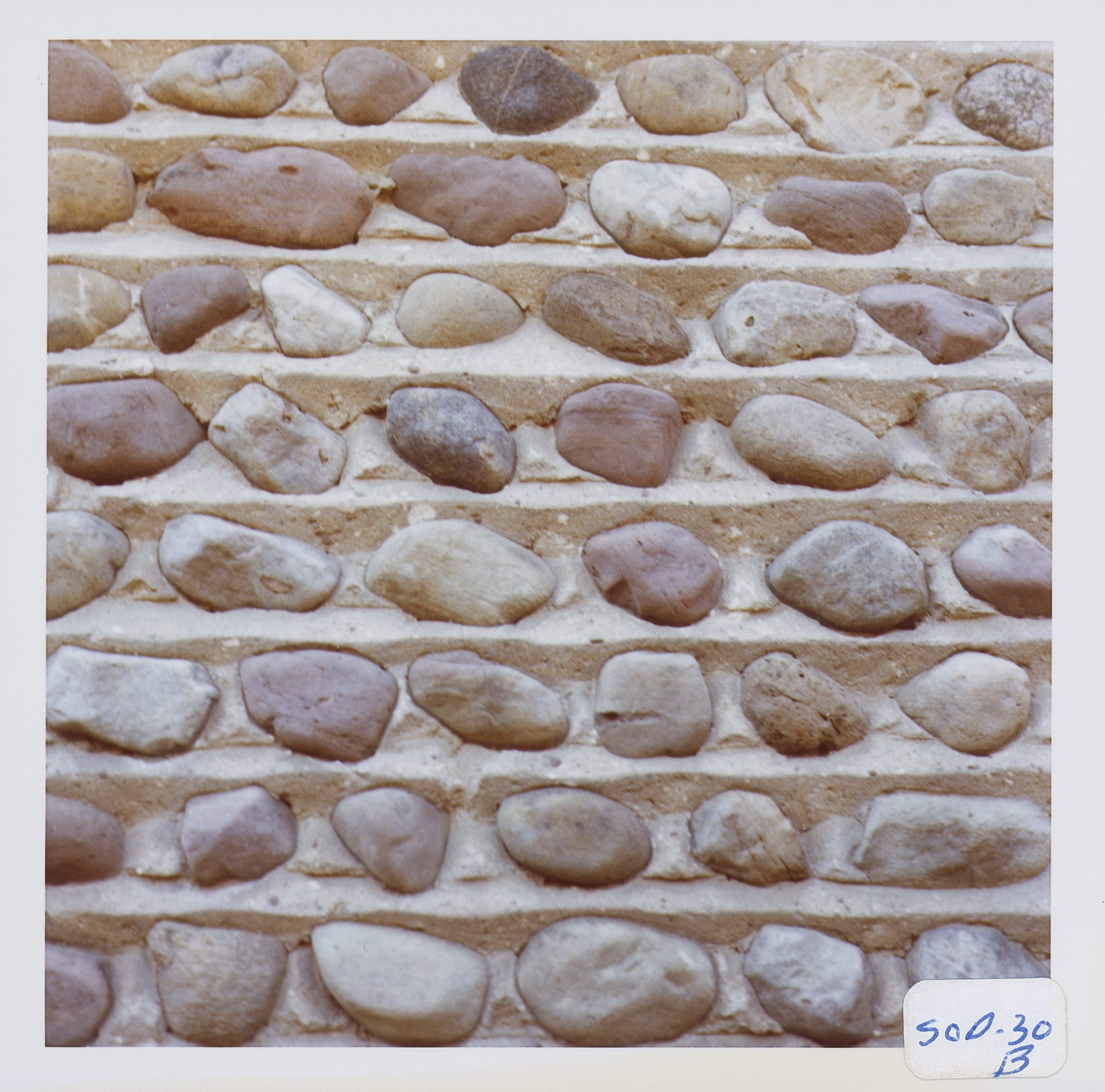 Sod_30b_2.jpg | 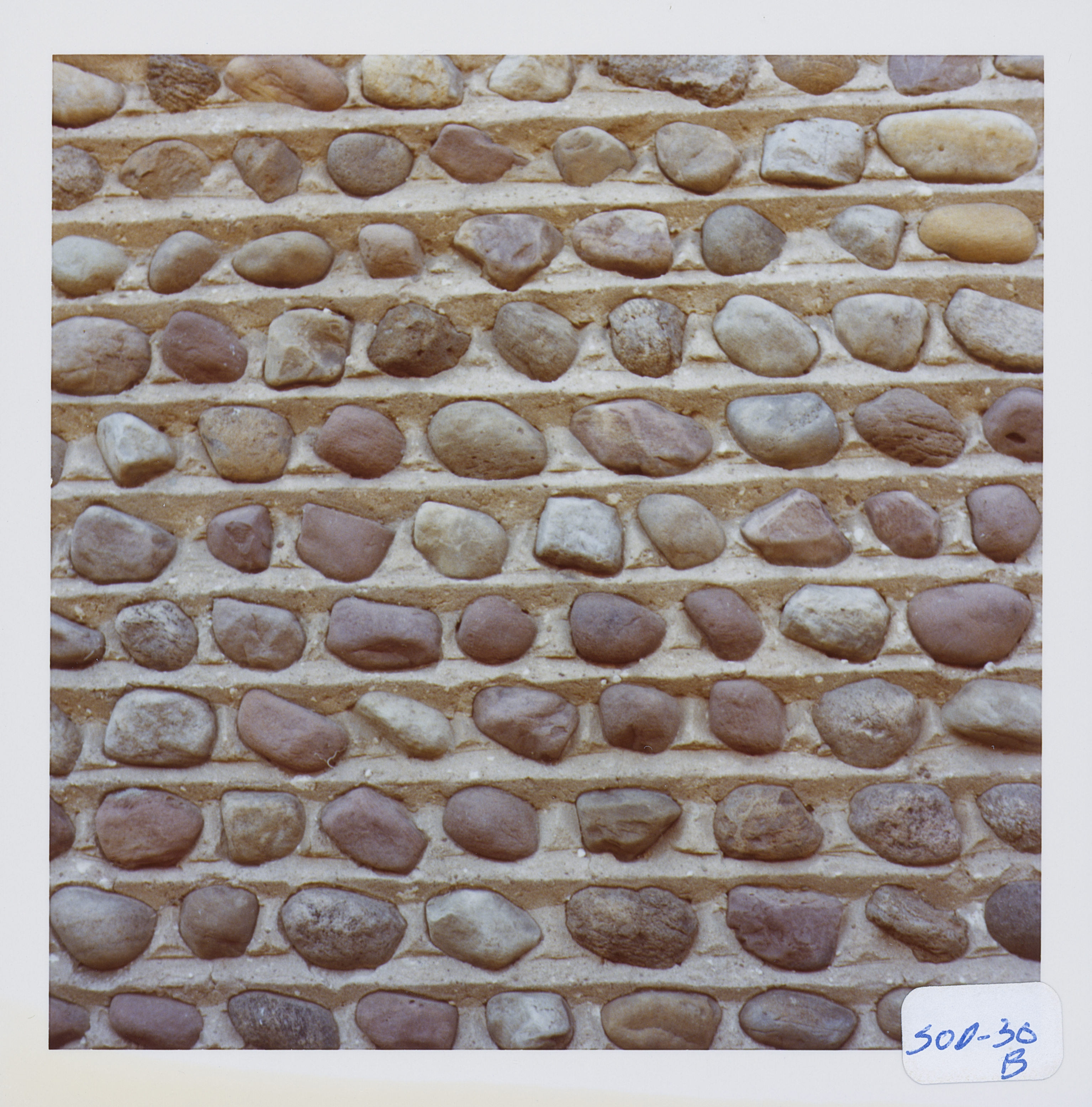 Sod_30b_3.jpg | 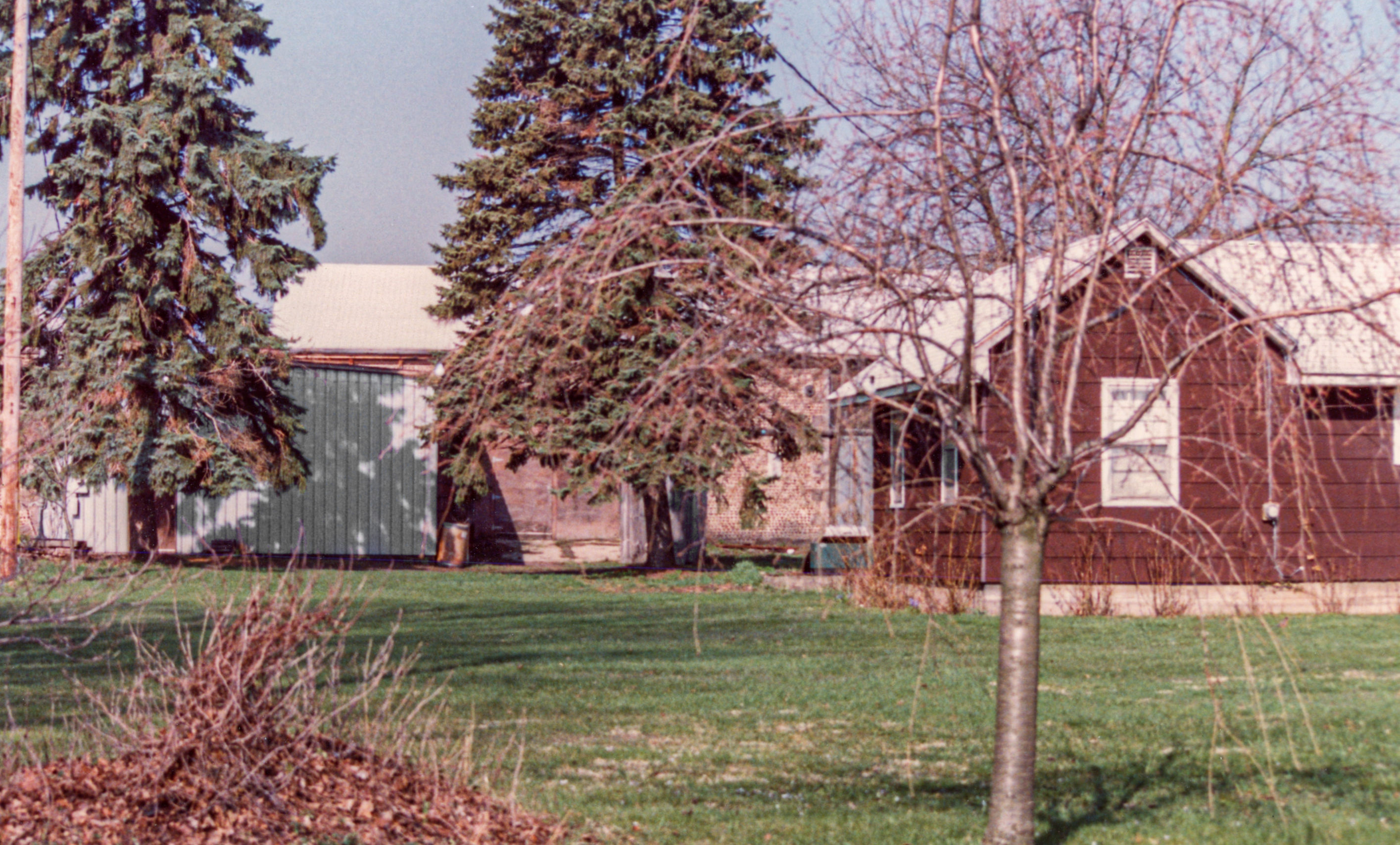 Sod-30b Cottrell Barn 1.jpg |
¹ Image courtesy Cobblestone Museum.
Editor's Note: See Wayne Historians Organization (WHO), Historic Sites Inventory Cobblestone house and 2 barns for recent photograph of this barn.
